
The Inca Trail to Machu Picchu is a 43 kilometer hiking route that connects Piscacucho, in the Urubamba province, with the Inca citadel. The classic walk lasts 4 days and goes through different elevations, from Andean forests to highland areas over 4,000 meters.
The trip goes through the communities along the route. The Inca Trail's official checkpoint, Piscacucho, is at Kilometer 82. It is located 2,700 meters above sea level. A two-hour walk away is Miskay, at 2,690 meters above sea level, where groups usually stop for lunch. Later, the last town on the route is also the first camp of the day: Wayllabamba, located at 3,000 meters above sea level.
Each group of tourists has its own support team. This team includes a certified guide, a cook who prepares the food during the four days, and porters who carry the camping gear. This team knows the route, its sections, and the ground conditions. This knowledge was important when heavy rains caused landslides, rising streams, and damage in different parts of the trail. This forced the Ministry of Culture to stop visitors from entering. Below, you can find more information about what happened.
Many people know that the Inca Trail went from being an accessible trail to becoming one of the most regulated hikes in South America. This change was needed to protect the area's archaeological and natural heritage. Today, there are 500 daily permits available, and about 200 of them are for tourists. The rest are for guides, cooks, and porters. The rest of the year, except for the February closure for maintenance, the route is monitored constantly, which is exactly how the emergency in August 2026 was detected.
Heavy rain began on the night of Monday, August 17, 2026, in different parts of the Inca Trail Network. The National Meteorology and Hydrology Service of Peru (Senamhi) says that the bad weather was caused by an Isolated High-Level Depression (DANA). Therefore, the Inca Trail tour companies guides and support teams helped the groups along the route during the event. Later, the Ministry of Culture ordered the stop of visitor entry starting on Wednesday, August 19.
The rains caused landslides, rising streams, flooded camp areas, broken restrooms, damage to small bridges, and soil erosion at different points on the route. The damage was recorded in the following areas: Llulluchapampa, Ayapata, Paqaymayu Alto, Soqtacocha, Yuncachimpa, Qonchamarka, Wayllabamba, Pawkarcancha, Cusichaka, Phuyupatamarka and Wiñaywayna.
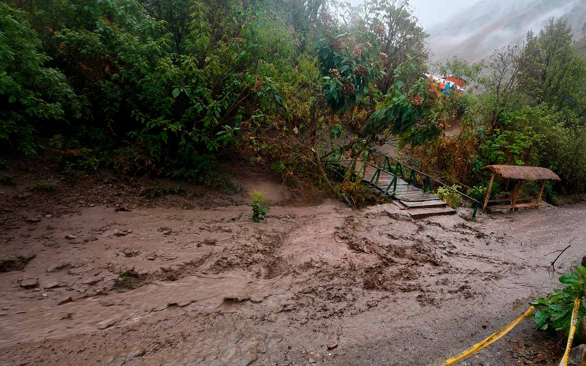
As mentioned before, the Decentralized Directorate of Culture (DDC) of Cusco, along with the Ministry of Culture, ordered the Inca Trail to close "until further notice". The visitors who were on the route on August 18 were brought back in an orderly way, and new entries were stopped from the next day.
If you find yourself in this situation, the best thing to do is to follow the guide's instructions. They know the route and the ground conditions, and they decide the best way for the group to arrive safely.
Here are some other things to keep in mind:
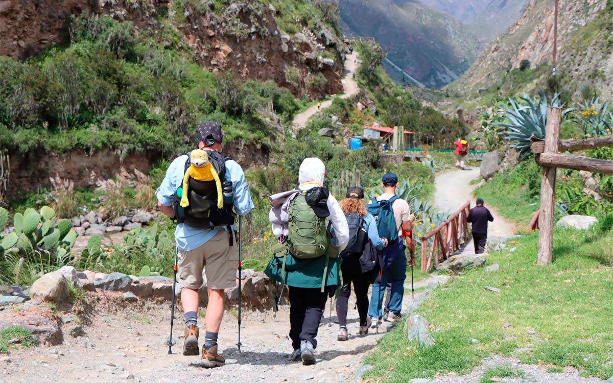
If you bring the right gear, you'll be less likely to encounter dangerous weather or unstable ground:

 +51 84 217 551
 +51 997 434 941
 Av Tupac Amaru PP-10B, Santiago, Cusco, Peru
  info@incatrailmachu.com
 www.incatrailmachu.com


